


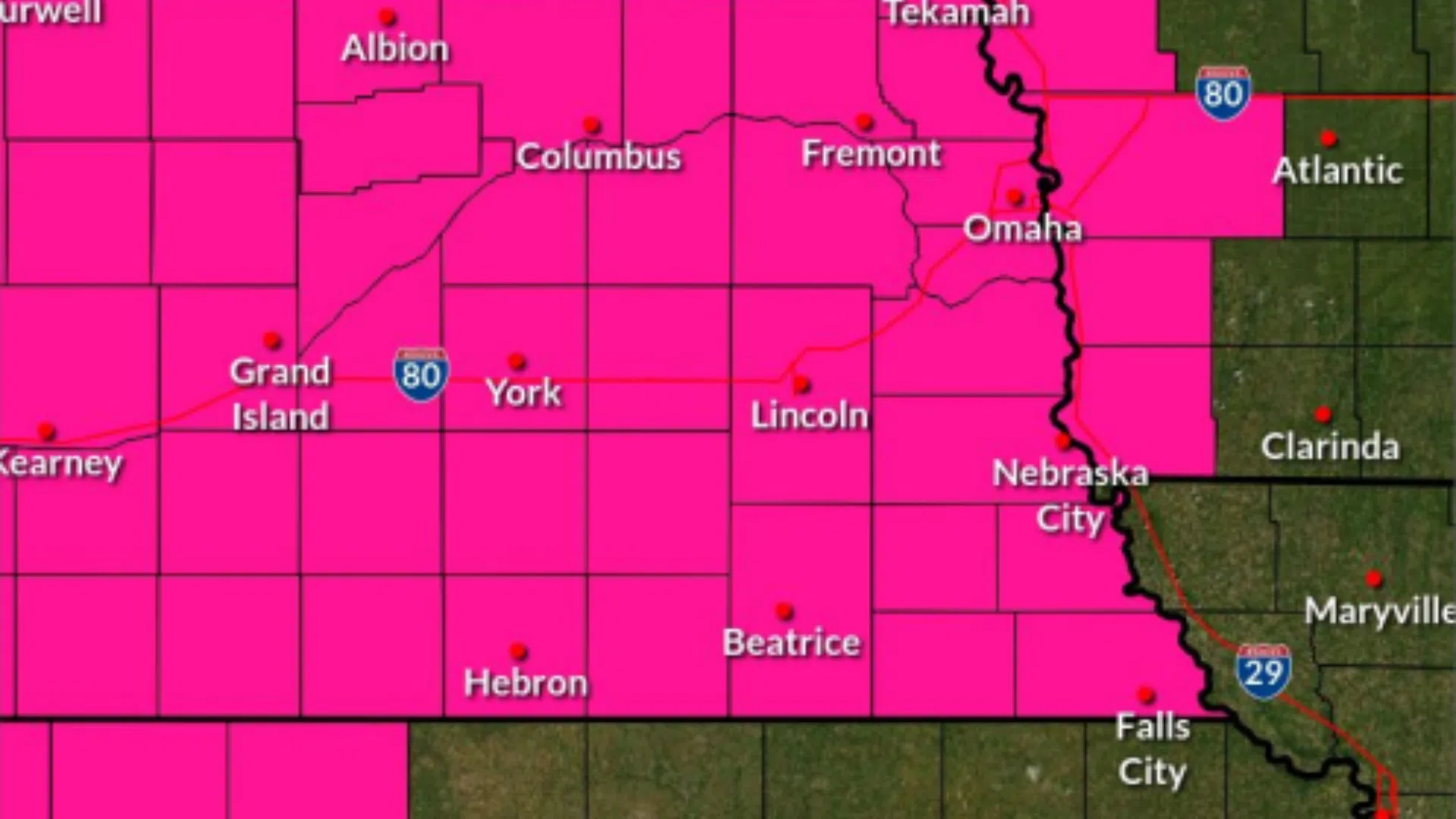
The National Weather Service has issued a Red Flag Warning for extreme fire danger in eastern Nebraska, including Lancaster County, on Monday from 1:00 p.m. to 9:00 p.m.
Gusty winds, high temperatures in the upper 50s to lower 60s, and dry relative humidity around 18-25% will be the perfect combination for extreme fire conditions — prompting local fire departments are preparing for the worst.
Some of the strongest winds will mainly afflict northeastern parts of the state, stretching into parts of South Dakota and Iowa.
Thursday will also carry a severe weather potential for eastern Nebraska, including the City of Lincoln. The chance of thunderstorms is between 20-50%, with a 15-29% chance those storms could be severe.
A Red Flag Warning means critical fire weather conditions are either occurring now or will shortly. Fires could start very easily and spread quickly.
“Thursday is really not a good day if you want to burn something. We advise not burning and avoiding anything that could cause a spark,” said National Weather Service Meteorologist Clint Aegerter. He stresses residents to carefully discard cigarettes and avoid any outdoor burning including fire pits and outdoor grilling.
In regards to temperatures for the upcoming week, Aegerter says things will be “up and down.”
“Sunday we were in the 80s for a lot of the area. Monday, today, is in the 60s, which is closer to average for this time of year. Tuesday looks really nice in the upper 60s, not as much wind, 10 to 15 miles per hour, which is welcome compared to the 30-35 mph we’ve been seeing. Then things will be a little bit warmer as we head toward Wednesday and Thursday, upper 70s to maybe even mid-80s on Thursday,” Aegerter added, cautioning towards the chance of storms on Thursday.