




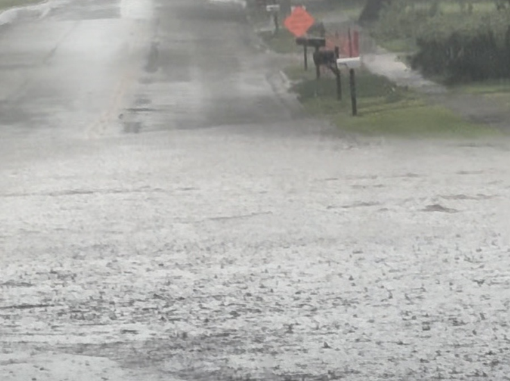
A slow-moving weather system could bring several inches of rain to parts of Nebraska early next week, potentially delaying the remaining harvest. UNL Extension’s Eric Hunt says the heaviest rainfall is expected Sunday night, November 1, into early Tuesday, November 3.
In an October 29 Nebraska State Climate Office update, Hunt said parts of south-central and southeast Nebraska could receive 2 to 4 inches. He said the moisture could keep farmers out of fields for several days, with some flash flooding risk in areas receiving around 3 inches.
Before that system arrives, Halloween evening currently looks favorable for trick-or-treating. Hunt’s outlook calls for partly to mostly cloudy skies, light southeast winds and temperatures in the mid 50s to lower 60s Saturday evening.
Sunday daytime also looks favorable for outdoor activities, with some sunshine and temperatures generally reaching the 60s. Winds are expected to become breezy from the south Monday before turning northwesterly Tuesday.
The projections reflect Thursday’s outlook and may change as the system approaches. Hunt’s full update and forecast maps are available through the Nebraska State Climate Office.