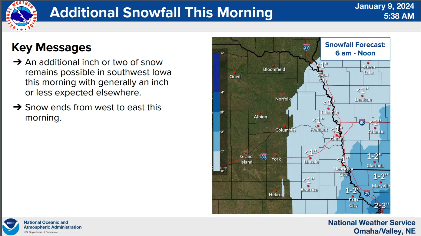
Snowfall is ending from West to East this morning but strong winds will remain well into midday. That National Weather Service latest storm summary indicates North winds of 35 to 45 mph are likely to continue through mid-afternoon South of I-80.
 Rural roads are experiencing significant blowing and drifting with Lancaster County Engineer Pam Dingman telling KLIN News there was significant freezing overnight which has resulted in very icy conditions on most County roads.
As this storm subsides forecasters are focusing on the next round of snow expected across the area Thursday into Friday with another 2 to 4 inches of snow possible ahead of extremely cold weather moving in for the weekend.
The latest maps and details are available here 1-9-24 NWS AM DssPacket


