


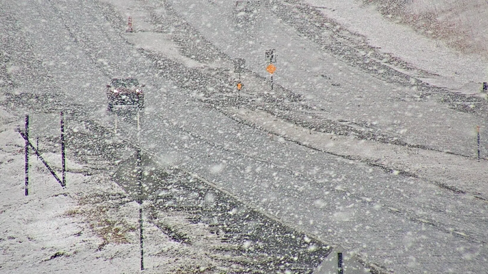
Lincoln is persevering through its second snowstorm of the week… with no quick end in sight.
National Weather Service
National Weather Service is reporting, tonight and Saturday for southeast Nebraska and the Lincoln area, falling snow will continue wind down into the evening. Blowing snow will still lead to dangerous travel conditions tonight and even into Saturday.
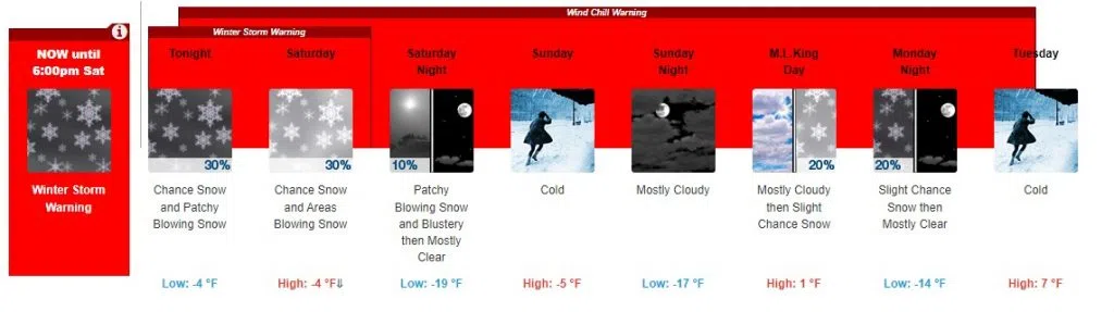
A winter storm warning remains in effect for Lincoln. Additional snowfall overnight and early Saturday could likely be less than an inch. Dangerous cold will also set in, with wind chill values dropping to -20° to -30° tonight.
Focusing on Saturday, were looking at a 30% chance of snow, mainly in the morning before 7am. There could be areas of blowing snow. The day will begin cloudy, then gradually become mostly sunny and cold, with a temperature falling to around -7° by 5pm. Wind chill values will drop the temperature as low as -32°.
For anyone traveling this weekend: the development of ground-blizzard conditions are possible in northeast Nebraska late tonight into Saturday as well with wind gusts up to 50 mph possible. Saturday evening will be mostly clear, with a low around -19° and wind chill values as low as -40°.
On Sunday, there will be increasing clouds and cold, with a high near -5° and wind chill values as low as -40°.
On our federal holiday weekend, Monday, Martin Luther King Jr. Day, there will be a 20% chance of snow after 1pm. Conditions will be mostly cloudy and cold, with a high near 1°.
Check back with KLIN for more updates.